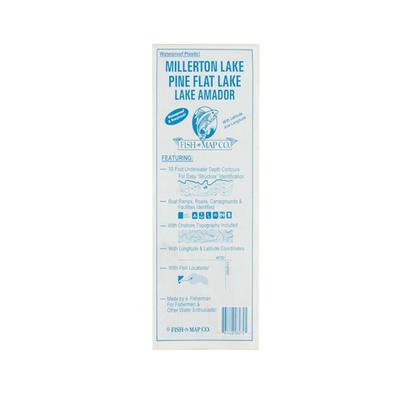
Fish N Map Millerton/Pine Flat/Amador Map -This map shows 10 foot underwater depth contours for easy structure identification. The map also shows boat ramps, roads, campgrounds and facilities. 10 foot underwater depth contoursBoats ramps, roads,...
ShipAmount | $6.95 |
RevType | 2 |
Manufacturer | Fish N Map |
Sku | MILLERPINE |
Identity | 34790211879 |